 FIRST CHURCH OF CHRIST, LANCASTER, MA
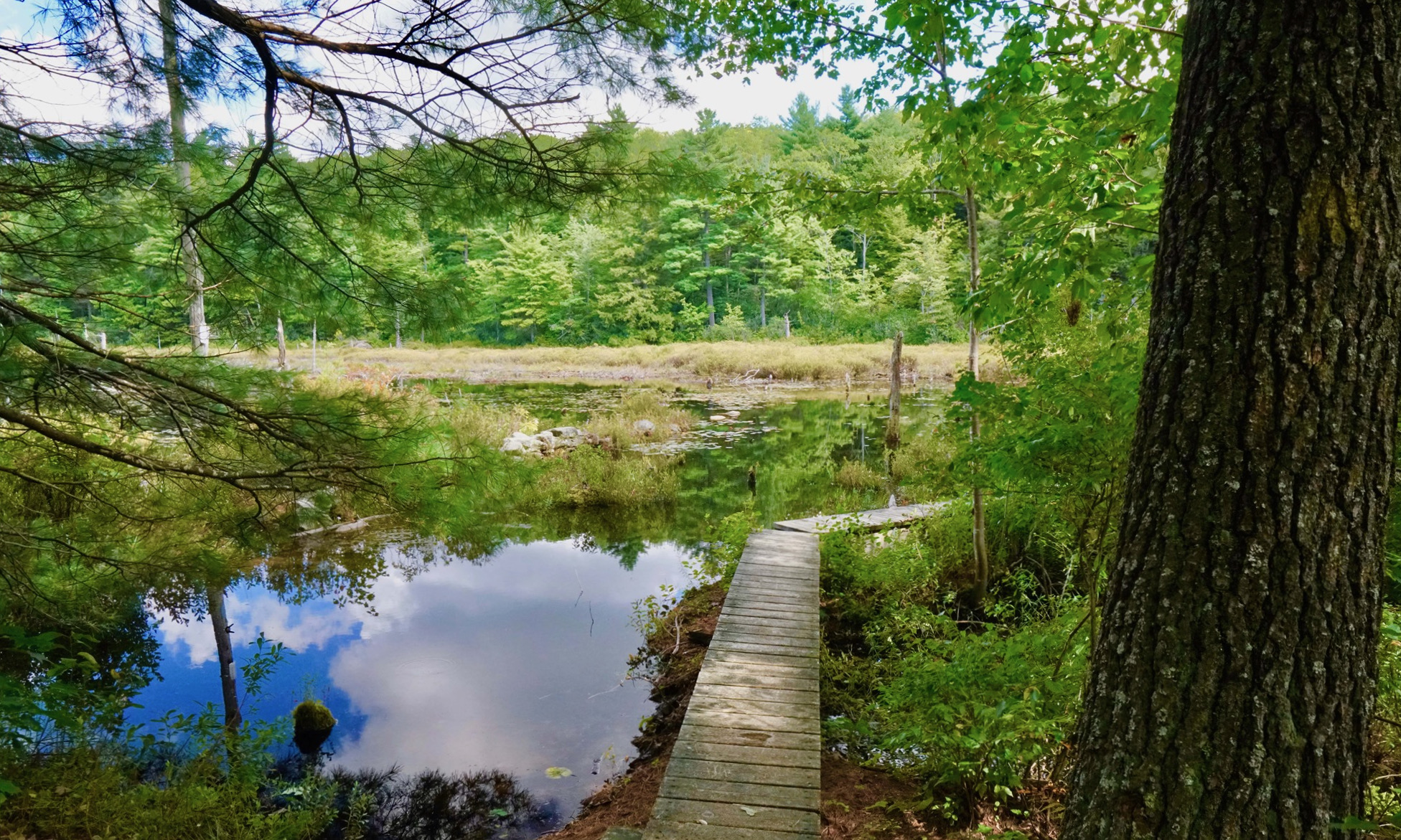
The Wapack Trail is a 21.5-mile hiking trail that runs north-south over a half-dozen small mountains, none taller than 2,300 feet, from Mount Watatic in Ashburnham, Massachusetts, to North Pack Monadnock in Greenfield, New Hampshire. It runs alongside ponds and wetlands, through dark woods and open blueberry fields, past stone walls and cellar holes, and across ledges and summits with fine views of Boston to the hills of Vermont. The Wapack Trail passes through both public lands and private lands and has six trailheads with parking. For those with a love of long-distance hiking, it connects with the Midstate Trail in Massachusetts at the southern end.
Discussed as early as the mid-1800s, the Wapack Trail was completed in 1923, mostly by Frank Robbins of Rindge, New Hampshire, who farmed 1,200 acres of land around Barrett Mountain, and Marion Davis of New Ipswich, New Hampshire. Davis became the trail’s best-known personality by operating the Wapack Lodge for three decades through the late 1950s, providing lodging and hosting up to 100 people at a time. She also invented the name Wapack, from the names of the mountains at each end of the trail – Mount Watatic and North Pack Monadnock.
Over the years the trail has both benefited from and been a spur to land conservation efforts. Although part of the trail passes through private land, it also crosses property such as the Ashby Wildlife Management Area, the Wapack National Wildlife Refuge, Miller State Park and Temple Mountain State Reservation, as well as land owned or protected by The Nature Conservancy, the New England Forestry Foundation, and Northeast Wilderness Trust. The Wapack Trail is maintained today by the all-volunteer Friends of the Wapack.
Photo courtesy of the Friends of the Wapack