 FIRST CHURCH OF CHRIST, LANCASTER, MA
The Shirley Center Historic District is the earliest settlement core of Shirley, Massachusetts and is reminiscent of the late 18th and early 19th-century agricultural community. The district’s character has been retained due to the isolation created as the main regional highways bypassed the Center and the town’s industrial and commercial activities occurred to the south, near waterpower and the 1845 railroad.
The district’s rural character is reinforced by the pastoral quality of the buildings and sites around the Town Common. Mature trees, field stone walls, curvilinear road patterns, and irregular setback of buildings enhance the rural, agrarian setting.
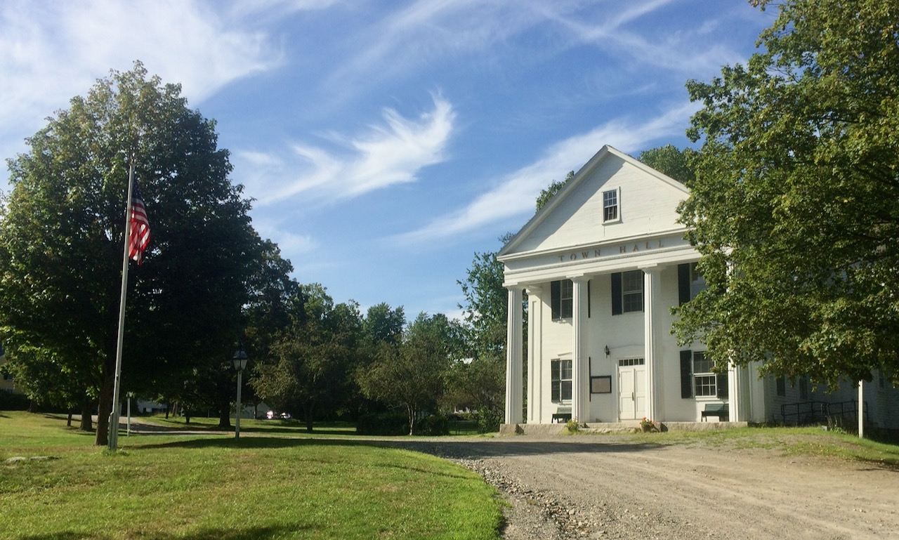
Prominent buildings within the district include the First Parish Meetinghouse (1773), the Town Hall (1848), and the Brick School House (1856). Landscape features include the Town Common (1753/1857), the Center Cemetery (1755), and the Town Pound (1773).
The Shirley Center Historic District provided inspiration to regional planning visionary Benton MacKaye, “Father of the Appalachian Trail” (1921) and co-founder the Wilderness Society (1935) and the Regional Planning Association of America (1923). Originally coming to Shirley Center as a summer retreat with his family, MacKaye lived here until his death in 1975 in the Betsey Kelsey House, one of the buildings that contribute to the district’s historic significance and is buried, along with family members, in the Shirley Center Cemetery.
The Shirley Center Historic District was listed on the National Register of Historic Places in 1988.